← Home · Underground Excavations

Geotechnical Excavation Monitoring in Newcastle: Real-Time Data for Safer Cuts

Together, we solve the challenges of tomorrow.

EXPLORE →

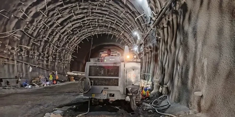
Newcastle’s transformation from a steel-making powerhouse to a modern coastal city has reshaped more than its skyline. The push into higher-density residential and commercial basements—particularly around Honeysuckle and the inner-city precinct—has driven excavation depths deeper than what was typical thirty years ago. The geotechnical reality here is complex: we’re dealing with highly variable residual soils from the Newcastle Coal Measures, perched groundwater, and weathered rock profiles that shift across short distances. Our team has monitored excavations from the Merewether escarpment down to the estuarine flats near Hexham, and we’ve learned that you can’t rely on a single design assumption. For sites where basement retention interacts with neighbouring heritage structures, pairing continuous deep excavation monitoring with targeted slope stability analysis gives us the early warning needed to adjust shoring sequences before movement becomes visible at street level.

Movement never starts at the shoring face—it starts in the soil mass behind it. Our job is to catch it there, before it becomes a defect.

Scope of work

The contrast between a site in The Junction and one out near Wallsend illustrates why a standard monitoring plan rarely fits Newcastle. Over at The Junction, you’re often cutting through dense sands with a shallow water table just metres below the surface—conditions that respond quickly to heavy rainfall and demand high-frequency piezometer readings and inclinometer checks. Move west toward Wallsend and the profile shifts to stiff residual clays overlying siltstone, where deformation can be slower but more sustained, requiring long-duration prism monitoring and crack-width gauges on adjacent roadways. We calibrate instrumentation arrays to the specific geological unit, not just the excavation depth. When we need to confirm in-ground strength parameters without disrupting active construction, we integrate CPT testing adjacent to the monitored zone, using the continuous profiles to validate the modulus values assumed in the retention design. Our approach always ties the monitoring data back to the geotechnical model, so if a set of inclinometers starts showing a trend, we can cross-reference it against the actual stratigraphy logged during the bulk excavation phase.
Geotechnical Excavation Monitoring in Newcastle: Real-Time Data for Safer Cuts
Technical reference image — Newcastle NSW

Area-specific notes

Newcastle’s coastal humidity and sudden east-coast lows create a monitoring environment where instrument drift can mask real ground movement if you’re not rigorous with baseline checks. We’ve seen sites where three days of heavy rain shifted the pore pressure regime enough to rotate a soldier pile wall by several millimetres—movement that wasn’t captured properly because the inclinometer casings hadn’t been re-surveyed after the storm. The other local risk is legacy mine workings. In suburbs like Charlestown and Kotara, shallow abandoned workings within the Newcastle Coal Measures can collapse or settle asymmetrically, introducing deformation patterns that a standard basement excavation model won’t predict. Our monitoring plans in these zones include surface settlement arrays extending well beyond the property boundary, coupled with subsurface markers grouted into the rock mass. Without that wider lens, you’re effectively monitoring the excavation while blind to what the ground itself is doing.

Need a geotechnical assessment?

Reply within 24h.

Email: contact@geotechnicalengineering1.co

Watch how it works

Technical parameters

ParameterTypical value
Inclinometer accuracy±0.25 mm/m (digital MEMS)
Piezometer range0–250 kPa (VW standard)
Total station precision1 arc-second angular
Crack gauge resolution0.1 mm
Monitoring frequency (active phase)Daily to real-time (cloud data)
Reporting threshold complianceAS 1726-2017 Table 6.1
Typical target array depth1.5× excavation depth below base

Linked services

01

Deep Excavation Monitoring Package

Full instrumentation suite for basement and infrastructure cuts exceeding 4 m depth. Includes digital inclinometer casings installed behind soldier pile or secant pile walls, vibrating wire piezometers at multiple horizons to track groundwater drawdown, and automated total station arrays with prisms mounted on shoring walers and adjacent buildings. Data streams into a cloud dashboard with SMS alerting when trigger values—defined per AS 4678 serviceability limits—are approached.

02

Heritage and Infrastructure Protection Monitoring

Targeted monitoring for excavations adjacent to Newcastle’s heritage-listed buildings, rail corridors, or live roadways. We deploy high-resolution tiltmeters on masonry façades, crack-width gauges across existing defects, and vibration monitors to comply with AS 2187.2 limits during rock hammering or blasting. All readings are correlated with a daily construction activity log so that any exceedance can be traced to a specific operation immediately.

Standards used

AS 1726-2017 (Geotechnical site investigations), AS 4678-2002 (Earth-retaining structures), AS/NZS 1170.0:2002 (Structural design actions – General principles), NATA ISO/IEC 17025 (Laboratory calibration of instrumentation)

FAQ

What is the typical cost range for excavation monitoring on a Newcastle townhouse site?

For a typical medium-density residential excavation in Newcastle—say a basement cut of around 4 to 6 metres with shoring on two boundaries—the monitoring package generally falls between AU$1,460 and AU$3,950. The figure depends on the number of inclinometer casings, piezometer installations, and whether automated versus manual reading cycles are specified. Higher-cost scenarios involve proximity to heritage-listed terraces or active rail corridors where third-party asset protection demands additional vibration and tilt monitoring points.

How do you set trigger values for an excavation in Newcastle's variable ground?

Trigger values aren't pulled from a generic table. We derive them from the deflection predictions in the retention design—usually a wall deflection not exceeding 0.3% to 0.5% of the excavation height for a stiff clay profile—and then tighten them further if adjacent structures have low damage tolerance. For Newcastle's residual soils over coal measures, we often set an early 'alert' threshold at about 60% of the design movement limit, which gives the contractor time to review the shoring sequence without breaching any serviceability or ultimate limit state criteria under AS 4678.

Can you monitor excavations near Newcastle's old mine workings?

Yes, and we approach those sites with a broader monitoring footprint than a standard basement job. In suburbs like Kotara or Charlestown where shallow abandoned workings are mapped, we install surface settlement arrays extending at least 1.5 times the excavation depth beyond the cut perimeter. We also grout subsurface markers into the rock at depths that span the known seam levels. This dual-layer approach lets us distinguish between deformation driven by excavation stress relief and settlement originating from mine void collapse, which is critical for assigning responsibility and triggering the right mitigation.

Location and service area

We serve projects across Newcastle NSW and its metropolitan area.

View larger map