← Home · Seismic

Seismic Microzonation Studies in Newcastle NSW

Together, we solve the challenges of tomorrow.

EXPLORE →

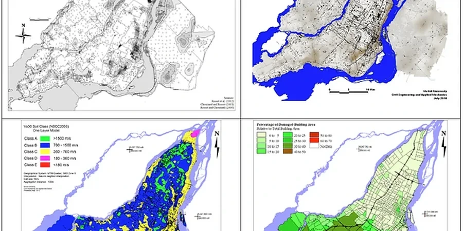
A seismic microzonation campaign in Newcastle starts with the equipment: a triaxial borehole geophone lowered to refusal depth, coupled with a surface hammer source striking a steel plate at precise offsets. The array feeds into a 24-channel seismograph that records shear-wave arrivals every 0.125 ms. Newcastle’s Permian coal measures and the Newcastle Earthquake of 1989—magnitude 5.6, epicentre near Boolaroo—mean the regolith overlying bedrock varies from less than 2 m on the Merewether ridge to over 30 m of alluvium in the Hunter River flats. Understanding that contrast is why microzonation matters here. The site class can shift from B to D within a single city block, and AS/NZS 1170.4 requires that differentiation before foundation design. We run the field acquisition, pick first arrivals, invert the dispersion curve, and deliver a Vs profile tied to borehole logs. For deeper bedrock mapping across larger parcels, the same crew can deploy a seismic refraction survey to image the refractor interface where the shear-wave velocity jumps above 760 m/s.

Newcastle’s shallow bedrock on the ridge and 30-metre alluvium in the river flat can place a B-class and D-class site less than 800 metres apart—standard code assumptions break down at that scale.

Scope of work

AS 1726:2017 governs the geotechnical site investigation framework, but for seismic microzonation the critical standard is AS/NZS 1170.4:2007, which assigns site sub-soil classes based on the average shear-wave velocity in the upper 30 metres (Vs30). In Newcastle, the hazard is amplified by the Sydney-Gunnedah Basin edge structure: shallow bedrock east of the Hilltop fault line produces high-frequency ground motion, while the deep paleochannel fill beneath Wickham and Carrington elongates the fundamental period. Our processing chain follows the guidelines of the Australian Seismological Centre and NEHRP provisions for site classification. We extract Vs30 from MASW and downhole data, map the natural period of the soil column, and flag zones where site amplification exceeds the code assumptions. When the near-surface consists of loose estuarine sands with a high water table—common in the former swamplands of Hexham—we integrate CPT testing to capture cyclic resistance ratios and refine the liquefaction susceptibility layer within the microzonation map. The final deliverable is a GIS-ready shapefile with site class boundaries, amplification factors, and recommended design spectra for each zone.
Seismic Microzonation Studies in Newcastle NSW
Technical reference image — Newcastle NSW

Area-specific notes

Compare two sites less than a kilometre apart: Merewether Heights sits on weathered Hawkesbury Sandstone with Vs30 above 800 m/s, while a block in Carrington rests on 25 m of saturated silty sand over residual clay, with Vs30 near 180 m/s. The first site amplifies short-period motion modestly; the second can double the spectral acceleration at 0.3–0.5 s, right where a three-storey masonry structure has its natural period. The Newcastle CBD itself is a patchwork: fill over estuarine deposits south of Hunter Street versus shallow rock north toward The Hill. A uniform site class assignment across a project that spans these units underestimates differential ground motion and can lead to pounding between adjacent buildings. We quantify that variability by mapping the fundamental period contour and identifying zones where the site amplification factor exceeds 1.5. Projects that skip microzonation risk designing to a single response spectrum that does not represent any part of the site accurately—exactly the mistake that post-1989 reconnaissance reports warned against.

Need a geotechnical assessment?

Reply within 24h.

Email: contact@geotechnicalengineering1.co

Technical parameters

ParameterTypical value
Vs30 classification rangeClass B (rock) to Class E (soft soil)
Depth of investigation30–100 m (depending on bedrock depth)
Primary field methodMASW + downhole seismic (triaxial geophone)
Site period (T0)0.1–1.2 s typical for Newcastle basin fill
Liquefaction screening depthTop 20 m (SPT- or CPT-based)
Mapping output formatGIS shapefile + design spectra per zone
Governing standardAS/NZS 1170.4:2007 + NEHRP provisions

Linked services

01

Vs30 Profiling and Site Classification

MASW and downhole seismic acquisition processed through dispersion analysis to assign site classes A–E per the Australian loading code. We deliver a contoured Vs30 map and the corresponding design spectra.

02

Liquefaction Susceptibility Mapping

SPT- and CPT-based screening using the simplified procedure (Youd et al. 2001) to identify zones where loose saturated sands exceed the cyclic stress ratio threshold. Critical for the Hunter River floodplain and coastal dune deposits.

03

Ground Motion Amplification and Site Period Analysis

One-dimensional equivalent-linear site response modelling (SHAKE or DEEPSOIL) to compute amplification factors and fundamental period contours across the project footprint.

Standards used

AS/NZS 1170.4:2007 – Structural design actions, Part 4: Earthquake actions in Australia, AS 1726:2017 – Geotechnical site investigations, NEHRP Recommended Seismic Provisions for New Buildings (site classification chapter)

FAQ

What does seismic microzonation cost for a typical Newcastle industrial site?

For a medium-complexity site of 2–5 hectares in the Newcastle area, a seismic microzonation study generally falls between AU$7,170 and AU$25,420. The spread depends on the number of MASW lines, whether downhole seismic or CPT soundings are needed for liquefaction screening, and the depth to bedrock. A site on shallow Merewether sandstone requires far less fieldwork than one on deep Hunter River alluvium.

How long does a microzonation study take from field work to final report?

Field acquisition typically takes three to five days for a standard commercial site. Data processing—dispersion curve picking, inversion, and site response modelling—adds another two to three weeks. The final GIS deliverable and report are usually submitted within four weeks of mobilisation, though large linear infrastructure corridors may extend the timeline.

Is microzonation mandatory under the National Construction Code?

AS/NZS 1170.4 requires site sub-soil classification as a minimum, but a full microzonation is not explicitly mandated for every building. It becomes essential when the site straddles multiple geological units, when the consequence of failure is high, or when council conditions of consent require a site-specific hazard assessment—common in Newcastle’s CBD redevelopment and Hunter Valley infrastructure projects.

Location and service area

We serve projects across Newcastle NSW and its metropolitan area.

View larger map